The park came into being in 1993 following a declaration by Uganda’s government Forest Department which saw it transform from its initial forest reserve state into a national park, making it the newest national park in Uganda. Semuliki National Park is located in Bwamba County, a remote part of the Bundibugyo District in the west of Uganda. The park is also one of the least-known areas in Africa that are well-endowed with diverse flora and fauna, numerous bird species and beautiful wildlife. The area is managed by the Uganda Wildlife Authority.
Semuliki National Park is situated at the border between Uganda and the Democratic Republic of the Congo (DRC). To the southeast, lies the Rwenzori mountains, while Lake Albert lies to the park’s north. The park is further located on a flat to gently undulating landform that ranges from 670 to 760m above sea level and lies within the Albertine Rift in the western arm of the East African Rift.
Semuliki National Park experiences an average rainfall of 1,250 mm, with peaks in rainfall from March to May, and from September to December. Many areas of the park experience flooding during the wet seasons. The temperatures at the park vary from 18 to 30 °C with relatively minimal daily variations. The park draws its water from two bordering rivers – Semuluki and Lamia Rivers.
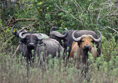
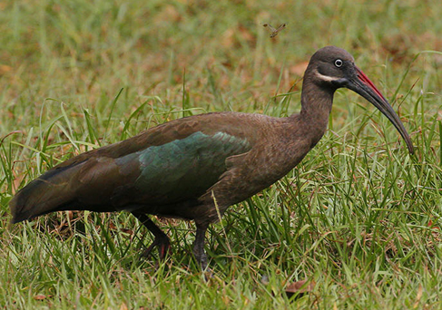
Semuliki National Park boasts more than 400 bird species which include the lyre-tailed honeyguide, the rare Forest Ground Thrush, and Sassi’s Olive Greenbul. Nine species of hornbills have also been recorded in the park. In the wildlife sphere, the park plays home to over 60 mammal species. These include forest buffalos, leopards, hippos, mona monkeys, water chevrotains, bush babies, civets, elephants, and the pygmy flying squirrel.


